
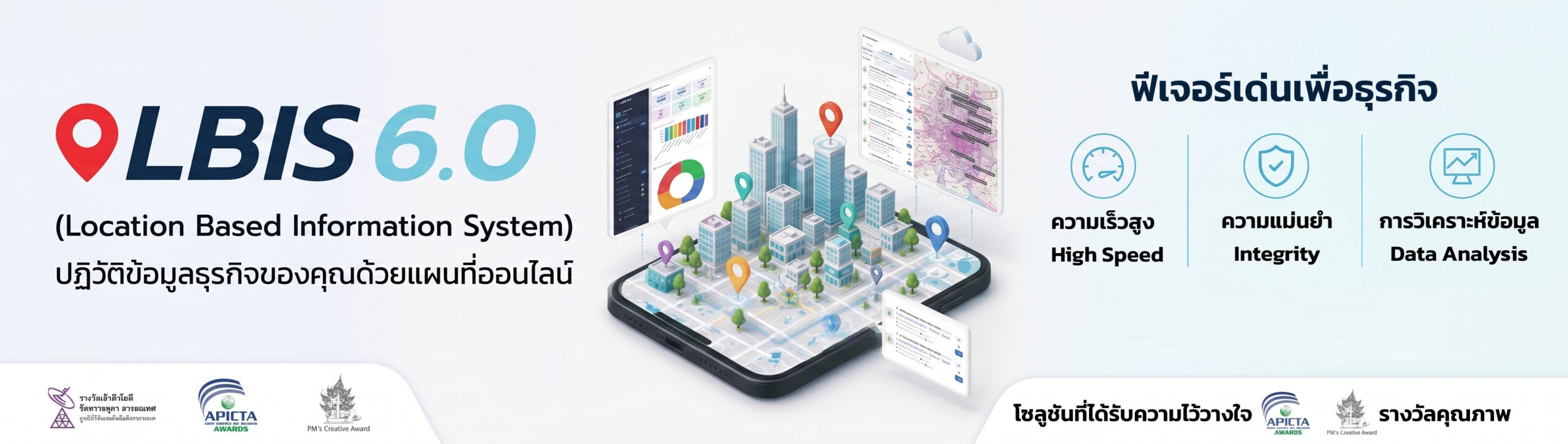
Enterprise Location Based Information System (LBIS)
The Business Information Revolution for Strategic Planning
Manage and analyze your enterprise data network securely on online maps to maximize strategic planning efficiency, without requiring specialized GIS knowledge.
Award Recognition: APICTA Award | PM’s Creative Award | IT Princess Award
(มูลนิธิวิจัยเทคโนโลยีสารสนเทศ)


A Location Based Information System (LBIS) is an application designed to manage complex data networks directly on online maps. It enables enterprise organizations to visualize spatial data, analyze real-time information based on locations, and execute highly efficient strategic planning. Built for high-speed performance and data integrity, LBIS allows businesses to plot an unlimited number of data points—incorporating text, images, video, and statistical data—tied to precise coordinates. By functioning as a fully integrated Geographic Information System (GIS), it delivers advanced spatial analytics to business users without requiring specialized technical GIS expertise.
Business Challenges
Overcoming critical bottlenecks in corporate spatial data and location intelligence:
Complex Spatial Analysis
Problem: Utilizing geographic data typically requires highly specialized technical knowledge.
Business Impact: High manual effort, operational bottlenecks, and slow strategic decision-making.
Solution Direction: Implement an intuitive system where data points are analyzed automatically, providing true GIS power natively.
Data Security Risks
Problem: Public or standard map APIs pose data leakage risks for sensitive corporate information.
Business Impact: Vulnerability of proprietary business data and compliance liabilities.
Solution Direction: Utilize an internally developed map system with encryption that fully supports intranet deployment.
Inefficient Field Data Collection
Problem: Manual field surveys result in redundant data entry processes and delayed logging.
Business Impact: Duplicate work, wasted labor hours, and inaccurate location coordinate logging.
Solution Direction: Deploy real-time mobile and tablet integration for direct, accurate field data capture.
Fragmented Organizational Data
Problem: Lack of centralized visibility into geographic, sales, and departmental data.
Business Impact: Rigid data silos that prevent cohesive, cross-functional strategic planning.
Solution Direction: Establish centralized data architecture with granular user and departmental access controls.
Solution Overview
LBIS 6.0 is an advanced B2B B-to-B location intelligence solution engineered to map, centralize, and decode complex operational frameworks. The system architecture coordinates operational parameters into measurable strategic advantages:
1. Inputs
Accepts vast datasets: text, numbers, images, VDO files, statistics, and hyperlinks tied to precise coordinate systems.
2. Process
Renders layers at high speed, overlaying demographic density, historical flood lines, and recurring drought zones.
3. Outputs
Generates real-time analytical reports tailored by boundary criteria (region, province, district, sub-district) via graphs or Excel.
4. Outcomes
Achieves maximum efficiency in corporate strategic planning, transforming spatial risk factors into clear market advantages.
Key Capabilities
Unlimited Data Records
Supports an infinite volume of data coordinates. Scale seamlessly to track comprehensive sales histories and purchase assets without system performance lags.
Centralized Governance
Manage data access and modification rights securely across diverse operational roles, hierarchies, and business units.
Multiple Analytical Overlays
multiple data dimensions simultaneously—such as target population counts alongside regional risk maps—for advanced hazard modeling.
Fully Integrated GIS
Every logged point undergoes geospatial analysis natively. Democratizes spatial planning across the enterprise without requiring external technical certifications.
High-Security Intranet Support
Protects proprietary information via custom data encryption layers and a proprietary map engine designed for full corporate intranet environments.
Real-Time Border Reporting
Instantly extract localized intelligence filtered through precise administrative boundaries, delivered ready for export in structured spreadsheet tables.
Industry Use Cases
Nationwide Enterprises & Distribution
Scenario: Managing distributed customer bases, branch territories, and independent representatives across the nation.
Challenge: Missing spatial clarity on local sales performance, asset levels, and transport delays.
Solution & Impact: Maps performance indexes and inventory items by specific areas and timeframes, enabling agile adjustments to network expansion and localized product distribution.
Real Estate Development
Scenario: Portfolios containing housing complexes, townhouses, and high-rise condominiums.
Challenge: Finding viable land plots while navigating competitor density and historical environmental exposure risks.
Solution & Impact: Overlays local demographic counts with accurate land deeds, competitor tracking, and flood data to assure long-term project viability.
Banking & Financial Services
Scenario: Commercial brick-and-mortar networks and mechanical distribution points.
Challenge: Optimizing branch networks, automated teller machines (ATMs), and foreign exchange boots.
Solution & Impact: Analyzes network placement against actual commercial activity, population numbers, and competitor locations to minimize site overlap and maximize localized profitability.
Insurance (Life & Non-Life)
Scenario: Risk modeling and underwriting across complex product landscapes.
Challenge: Calculating accurate liability and premium rates relative to regional environmental or systemic hazards.
Solution & Impact: Maps client locations against active epidemic boundaries, drought parameters, flood levels, or civil unrest zones to protect corporate loss ratios.
Healthcare & Public Health Agencies
Scenario: Healthcare management networks, localized clinics, and regional medical facilities.
Challenge: Isolating disease outbreaks rapidly and managing balanced medical staff allocations.
Solution & Impact: Visualizes disease coordinates to discover root environmental triggers while aligning medical devices and specialists perfectly against local patient volumes.
Survey Research Operations
Scenario: Large-scale field collection and demographic statistics gathering.
Challenge: Administrative overhead, transcription lag, and compromised position validation.
Solution & Impact: Deploys custom digital field forms for instant secure tablet synchronization, eliminating operational redundancies and capturing absolute coordinate tracking.
Benefits & Value
- Optimized Resource Allocation: Reduces duplicate recording tasks via automated mobile logging, allowing personnel and supplies to deploy exactly where localized demand centers dictate.
- Enhanced Decision Quality: Supplies full strategic clarity on land plots, operational assets, and competitor markets, enabling executive steering boards to chart corporate directions with data validation.
- Accelerated Time to Insight: Synchronizes field activities into unified analytics packages in real time, shifting corporate timelines from reactive management to predictive command.
Strategic Differentiators
Capability Area
Traditional Approach
Location Based Information System (LBIS)
Suffers severe lag and processing slowdowns when executing large enterprise spatial records.
Requires highly technical, specialized GIS engineers to read, query, and decode map intelligence.
Delivers fully integrated GIS capacity natively without requiring any prior technical GIS expertise.
Confined strictly to standard text descriptions or basic coordinate numerical markers.
Handles rich operational file formats including text, statistics, real-time images, VDOs, and hyperlinks.
Governance & Security
Depends on public consumer APIs, exposing internal organizational information to public networks.
Features strong proprietary encryption and an independent map engine built for secure internal corporate intranets.
System Lifecycle
Isolated legacy software structures lack structural integration connections.
Includes full Application Programming Interface (API) services to integrate with existing and future enterprise systems.
Implementation Architecture
01. Discovery & Assess
[Information Not Provided – Architecture Phase Placeholder]
02. System Design
Allows teams to design custom corporate data frameworks, formulate categorical labels, and adapt structures independently.
03. Secured Deployment
Deploys the infrastructure directly into your private corporate intranet to assure ultimate governance over corporate parameters.
Frequently Asked Questions
Do my corporate teams need specialized GIS credentials to operate the platform?
No. The platform analyzes and displays all coordinates natively as a fully integrated GIS. Operational teams can construct maps and extract actionable strategic intelligence without specialized GIS training.
Can the infrastructure scale alongside extensive corporate data volumes?
Yes. The backend architecture is explicitly optimized to support an unlimited number of records and coordinates simultaneously without suffering system lag or rendering degradation.
Is our proprietary corporate data protected from external leaks?
Absolutely. System parameters are heavily guarded via dedicated data encryption layers and a proprietary map core. The layout fully supports direct local installation inside your organization’s intranet framework.
How does the system streamline field operations and data logging?
LBIS provides complete compatibility with modern smartphones and tablets. Field personnel log information, multimedia files, and exact locations instantly, updating the central server in real time.
Can we control access rights based on specific corporate roles or hierarchies?
Does the platform support integration with our existing software ecosystems?
What analytical report types can our management teams extract?
The system computes real-time evaluations filtered through precise border constraints (regions, provinces, districts, sub-districts). Data exports instantly into visual charts or structured Excel spreadsheets.
Can the platform analyze multiple risk scenarios on a single map layer?
Yes. It supports multiple overlay layers, giving operators the capability to project metrics like target demographic density directly over historical flood lines or drought indexes simultaneously.
Join the Business Information Revolution
Transform spatial risk factors into structured corporate advantages. Deploy our Location Based Information System to support your strategic planning with maximum efficiency today.
